The Natuna Regency Government is preparing to establish several new sub-districts to improve public services, shorten administrative distances, and support faster regional development. One of the important steps in the process is confirming and defining village boundaries following verification by Indonesia’s Geospatial Information Agency (BIG).
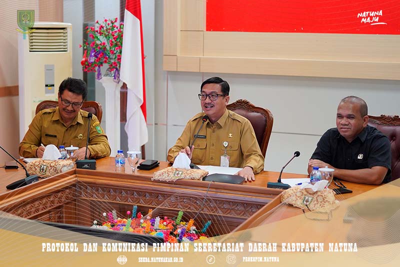
On Monday morning (August 10), Natuna Regional Secretary Boy Wijanarko Varianto led a meeting to discuss village boundaries that will form part of the proposed Southwest Bunguran District. The meeting was held at the Natuna Regent’s Office.
The meeting was attended by the Deputy Speaker of the Natuna Regional House of Representatives (DPRD), the Assistant for Government Affairs, the Head of the Government Division, as well as sub-district and village heads whose areas are affected by the boundary process. Their involvement was important to ensure that the discussion was open, objective, and based on verified BIG data.
Boy Wijanarko said clear village boundaries are important because they affect government administration and public services. Clear boundaries will also provide greater legal certainty and support more effective government services in the future.
He stressed that the process must be carried out carefully and involve all relevant parties so that the decisions can be properly justified. The meeting also included discussions on the affected village boundaries and input from sub-district and village heads as part of the process of preparing for the proposed establishment of Southwest Bunguran District. (Pro_kopimnatuna/S)
RILIS PERS, Number : 0690/PRO_KOPIM/2025