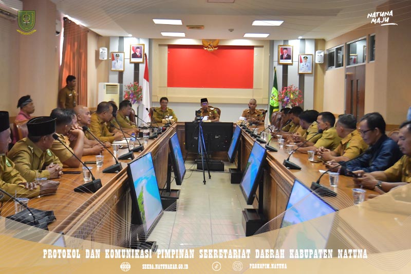
The Natuna Regency Government held a coordination meeting on Monday (August 3) to finalize and reaffirm village boundaries following verification by Indonesia’s Geospatial Information Agency (BIG). The meeting forms part of the ongoing process to establish the proposed Sungai Ulu District.
Chaired by Deputy Regent Jarmin, the meeting was attended by sub-district heads and village heads from areas affected by the boundary delineation process.
The discussion aimed to ensure that all decisions were made transparently, objectively, and based on verified geospatial data provided by BIG, while accommodating input from all stakeholders.
Jarmin emphasized that determining village boundaries is a sensitive matter with significant implications for government administration and public service delivery. He stressed that the process must be carried out carefully and collaboratively so that every decision can be properly justified.
The Natuna Regency Government hopes the finalized village boundaries will provide a strong basis for the proposed establishment of Sungai Ulu District, while also strengthening administrative governance, ensuring legal certainty, and supporting more effective public services in the future.
The meeting concluded with detailed discussions on the affected village boundaries, during which sub-district and village heads presented their views and recommendations to support the decision-making process. (Pro_kopimnatuna/D)
RILIS PERS, Number : 0679/PRO_KOPIM/2025